Important information
- You can consult the documents in the General reading room.
- No need to reserve your seat.
- Please reserve your documents 2 working days in advance.
The collection
KBR’s collection of maps and plans consists of:
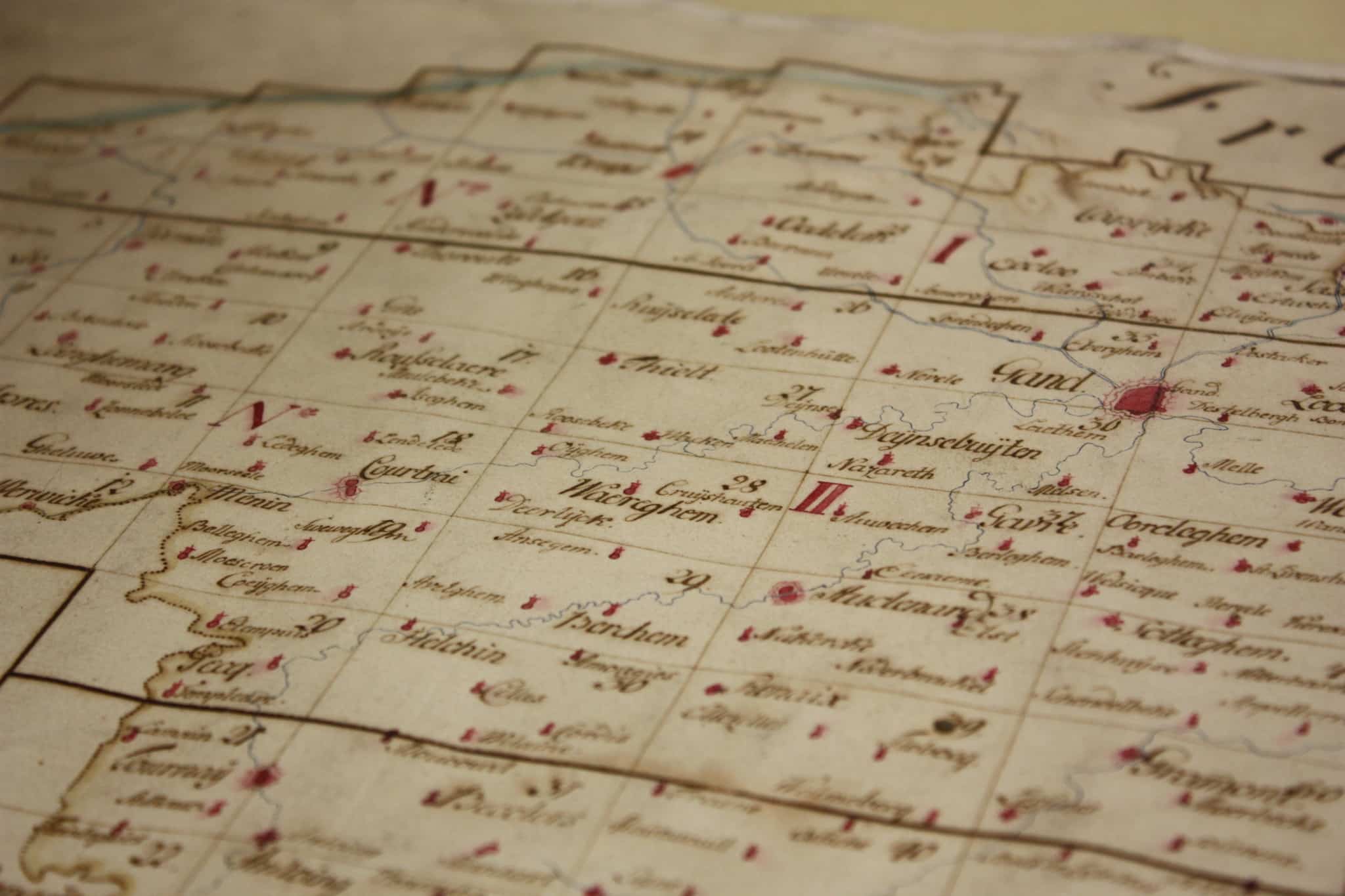
- more than 130,000 maps and plans on loose leaves, usually on large paper formats
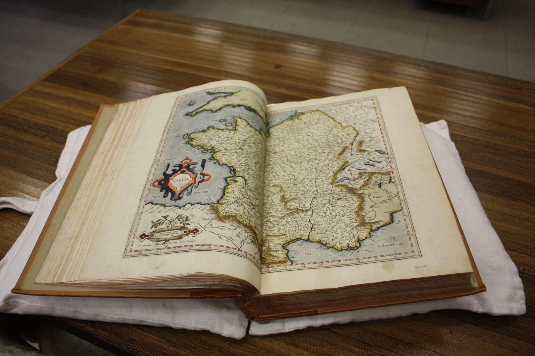
- approx. 1,000 atlases
- around thirty globes
- manuscript and printed books illustrated with maps
- a substantial collection of books and journals on cartography
- various archival collections
Many of the hand-drawn, engraved and printed maps dating from before 1800 belong to the collection of valuable objects from the Maps and Plans department.

The cartographical documents held by KBR date from the eleventh century to the present day, representing Belgium and the whole world. They include:
- atlases
- maps of the world
- celestial maps
- nautical charts and portulan maps
- maps of continents, national, regional and local maps
- street plans of towns and cadastral maps
- military maps, maps of battlefields, topographic maps
- aerial photographs
- thematic maps
There are several ways of looking for a document in the collection:
- Using the online catalogue
- Using the topographical catalogue (on paper)
- Using the catalogue of towns (on paper)
- Using the catalogue of authors (on paper)
All documents dating from after 1997 are listed in the online catalogue. For older documents, we recommend searching the online catalog and the paper catalogs.
The collection is regularly expanded by means of donations, purchases and acquisitions through the Legal Deposit.
Our story maps
Storymaps are interactive narratives that combine maps with embedded content and multimedia to showcase an institution’s collections through current or historical themes. The goal is to contextualize maps and put them into perspective for better understanding.
The Gulf of Mexico. Today’s politics and yesterday’s maps
KBR presents a story map dedicated to the evolution of the name of the Gulf of Mexico. On January 7, 2025, Donald Trump announced his intention to issue an executive order to rename the Gulf of Mexico the “Gulf of America.” This statement sparked numerous reactions. Looking at a few examples of seminal, even mythical maps selected from KBR’s collections, we invite you to discover how ancient cartography lies at the heart of today’s political issues. This journey reveals how political power and cartography have been responding to and intertwining with each other for centuries.

The first Antarctic expedition: tracing the voyage of the Belgica
125 years ago, on Monday 16 August 1897, the converted Norwegian sealer ship Belgica left the port of Antwerp amid great interest. An international crew of scientific and sailing personnel was aboard. Travel along with them to the Strait of Magellan in South America and to what was then terra incognita: Antarctica.
This story map with special historical documents, all from the KBR collections, offers a new perspective on the experiences of Adrien de Gerlache and his crew.

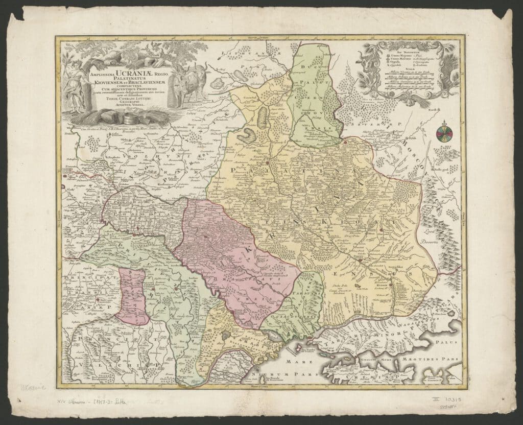
Ukraine’s geopolitical history in 10 old maps
Do you get lost in the ongoing (media) war between Russia and Ukraine? We selected ten old maps from our cartographic collection to illustrate the geopolitical history of what is now Ukraine. They offer you a glimpse of the region’s complex past as a borderland 1. Although not exhaustive, this selection illustrates some of the country’s politically significant dates. We invite you to look critically at every map. Maps are never neutral, so they can serve a political agenda.
Geological journey through the cartographic collections of the KBR: from the 19th century to the First World War
You will discover unique maps and documents in the story map, including handwritten geological surveys, preserved by the our department. The notes are based on archival funds on Belgian geological maps of the 19th century, also from the KBR collection.

Cartesius, the online portal
Many of the maps and plans from the collection became available online in August 2015, following the launch of www.cartesius.be. KBR, the State Archives of Belgium, the Royal Museum for Central Africa and the National Geographical Institute have made their historical geographical data available to a wide public by means of the Cartesius Project. The online portal contains maps, plans and aerial photographs of Belgium and Central Africa.
The online collection is increasing gradually, so it’s well worth checking the Cartesius website regularly.