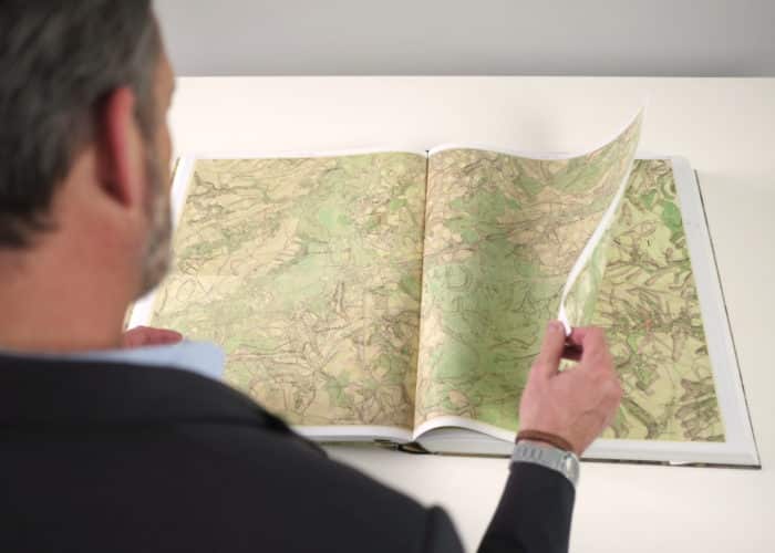
The Ferraris map
The Ferraris map is a map of the Austrian Netherlands created between 1770 and 1778 by […]
Continue reading "The Ferraris map"
The Ferraris map is a map of the Austrian Netherlands created between 1770 and 1778 by […]
Continue reading "The Ferraris map"
The collection of valuable objects of the Maps and Plans Department comprises of: hand-drawn atlases, including the Atlas des […]
Continue reading "Maps and Plans: collection of valuable objects"
This is the alphabetical list of external databases that KBR gives you access to. For an […]
Continue reading "Databases A to Z"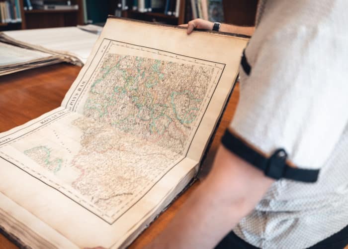
Cartographical documents from the 16th century to the present day.
Continue reading "Maps and Plans"