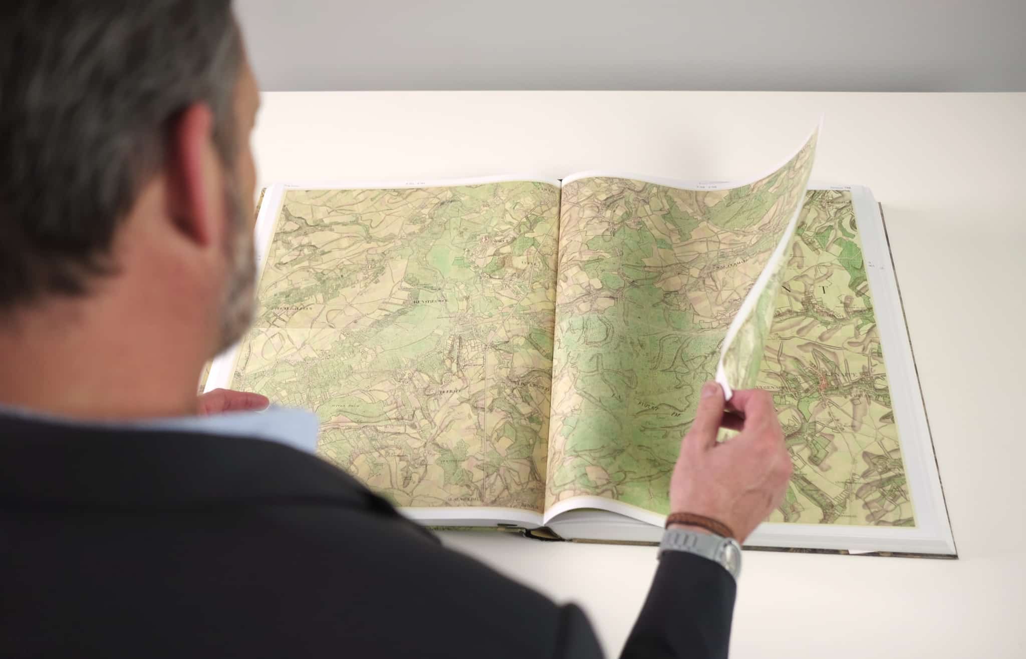
The Ferraris map is a map of the Austrian Netherlands created between 1770 and 1778 by the count Joseph de Ferraris. The map includes 275 sheets, which have all been digitised with the help of the National Geographic Institute.
The complete map can be consulted via this page and via the KBR catalogue. The original is kept in the Maps and Plans department.
Can’t see the map? Open it in a new window.
Discover our heritage collections